PENTECOST RIVER

GIBB RIVER

DRYSDALE RIVER STATION

THEDA STATION

KALUMBURU


Day 10

Friday 23rd July


  • Crossed the Pentecost River
  • Latitude    15°47'48.40"S
  • Longitude 127°52'52.07"E
  • Stopped at a lookout with a view across Pentecost River to Cockburn Range
  • Latitude    15°44'46.65"S
  • Longitude 127°49'31.22"E
  • Crossed the Pentecost Range
 
  • Crossed the Durack River
  • Latitude    15°56'27.87"S
  • Longitude 127°13'11.13"E
  • Turned north at the Gibb River Rd - Kalumburu Rd Junction
  • Latitude    16° 7'8.19"S
  • Longitude 126°31'12.67"E
  • CAMPSITE - Stopped at the Gibb River
  • Latitude    16° 5'44.32"S
  • Longitude 126°30'43.80"E
Day 11

Saturday 24th July


  • Travelled to Drysdale River Station and refuelled
     
  • CAMPSITE - Drysdale River Station


  • Latitude    15°42'12.88"S
  • Longitude 126°22'42.23"E
Day 12 - 13

Sunday 25th July
Monday 26th July


  • Sue and Peter travelled to Mitchell Falls
     
  • We travelled to Theda Station
  • Tour to see Bradshaw Figures
  • CAMPSITE - Theda Station
     
  • Flight over Mitchell Falls and Admiralty Gulf
     
  • CAMPSITE - Theda Station - Honeymoon Pools
  • Latitude    14°49'17.76"S
  • Longitude 125°41'44.81"E
     
  • Latitude    14°47'20.51"S
  • Longitude 126°29'44.18"E

     
  • Latitude    14°48'11.85"S
  • Longitude 126°29'48.95"E
Day 14 - 15

Tuesday 27th July
Wednes
day 28th July

 
  • Drove to Kalumburu
  • Sorted Julie's money out. Got supplies
  • Bought beautiful bread at the Mission at 11am
  • Spoke to one of the nuns - Italian
  • Drove out to Deep Bay
  • CAMPSITE -  Deep Bay - North of Kalumburu


  • Latitude    14° 8'45.54"S
  • Longitude 126°38'56.27"E


(Updating so text is not complete)
13-8-2009


Day 10


We packed up and wound our way back to the Gibb River Road and crossed the Pentecost River. At the western side we stopped and washed the dust off the vehicle. After leaving the river, the road rises and there is a lookout off to the southern side. We pulled in and took in the fantastic view back to the Pentecost River and Cockburn Ranges.

Next stop was at the Durack River crossing where we had smoko.
As the others chatted, I wandered off to take photos of the surroundings. The silvery foliage below was the hiding place for many tiny birds that were diving into the water to drink and swim.

Another very peaceful, beautiful spot along an otherwise hostile, hot, dry road.

We turned North at the Gibb River Road/Kalumburu Road junction and continued till we reached the Gibb River.

Below, the Gibb River, was where we set up our campsite for the night.

The water was deliciously cool on my feet as I waded along the white, sandy bottom.
This stopover was the first on our trip where we encountered antisocial activities. Whereas most of the campers respected each other and the surroundings, one group spoiled the peace and tranquillity by doing "burnouts" and getting drunk and screaming/arguing with each other.
The area was obviously overused as you had to be really careful where you walked as human faeces and toilet paper were in abundance very close to the area used for camping.


Day 11


We continued our trip northward until we reached The Drysdale River Station. The station is well set up for travellers.We refuelled both ourselves and the vehicles.


Day 12 - 13


CAMPSITE - Theda Station
Honeymoon Pools
Flight over Mitchell Falls and Admiralty Gulf
Tour to see Bradshaw Figures

(Since I constructed this page, there have been some changes.
Specifically .... 

Pg 134  Theda Station is closed to the public – in fact, they don’t want to see the public on their land at all. With that in mind forget going across through Old Theda to the Carson River Escarpment (pg 141).
 
This link, http://www.guidebooks.com.au/updates Kim bk.htm , lists changes in The KIMBERLEY – An Adventurer's Guide book. Therefore, some of the experiences we had are no longer available to the travelling public.)


From there we went further north to Theda Station. While we were there, we took a 1 hour flight out to the coast line.

We flew over King Edward River and along Admiralty Gulf. Kalumburu was visible in the distance. The flight then returned over the Mitchell Falls and back to Theda Station. It was worth the $150 each to see the countryside from the air. If we had driven out to Mitchell Falls it would have taken most of the day and then we wouldn't have seen the beautiful site of the land meeting the ocean and the rugged terrain under us. The pilot flew over the Mitchell Falls enough times and angles for everyone to get pictures of it. Sadly, I only had my video camera with me and therefore no shots to show here.
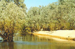
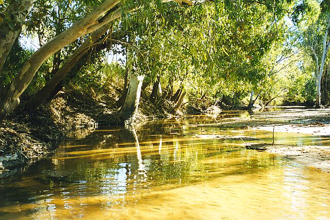
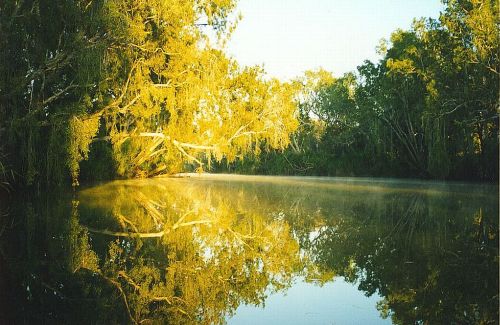
We camped overnight on Theda Station near the waterhole below called Honeymoon Pool.
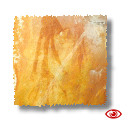
The early morning sun created this magic picture. It was July and therefore very cool, causing the mist over the water. A beautiful sight to watch while sitting around the campfire eating our bacon and eggs. 
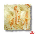
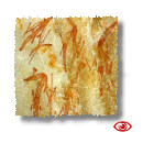
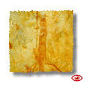
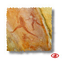


During our trip we encountered many wonderful sites that had aboriginal art.

We were lucky enough to be shown around Theda Station, south of  Kalumburu, by the station owner of the time, Mark. They have some fine examples of Bradshaw Figures. Apparently there is some dispute as to whether the Bradshaw Figures are actually aboriginal art or a very early form of art by a totally different culture.


                                                         Click on the pictures below for larger versions 
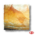
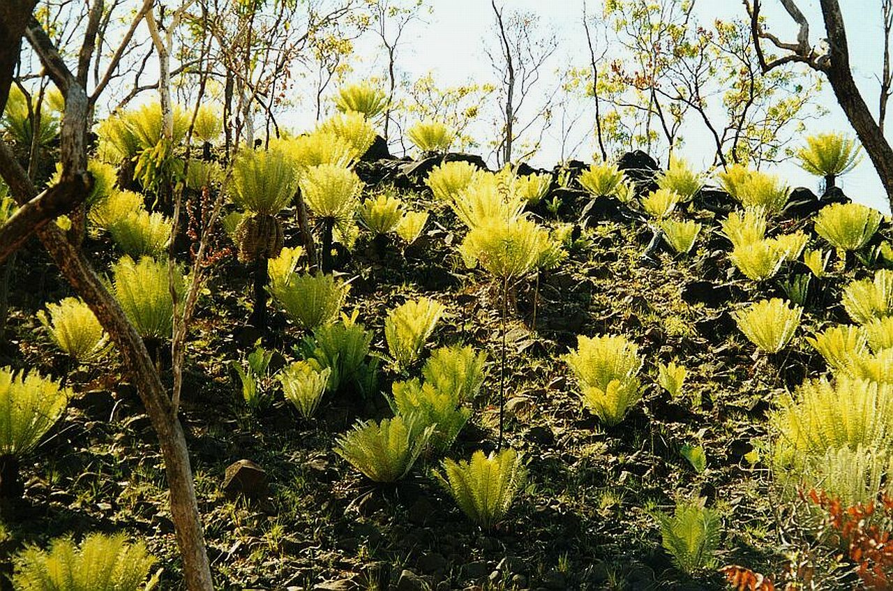
 

Just north of Theda Station on the road to Kalumburu we saw these Cycads. A beautiful, natural sight.
The hillside was dotted with Cycads in new growth after a fire had passed through. These magnificent plants stood out so much that we had to stop and take photographs. They were the only ones we saw on the whole trip. It seemed, at that particular spot, conditions were perfect for their growth. 


Day 14 - 15


Drove to Kalumburu
Sorted Julie's money out. Got supplies
Bought beautiful bread at the Mission at 11am
Spoke to one of the nuns - Italian
Drove out to Deep Bay
CAMPSITE -  Deep Bay - North of Kalumburu


We visited Kalumburu and it's surrounding beaches. It was VERY hot even though it was July.


Last Updated : 28/01/2012 03:21 PM +1000